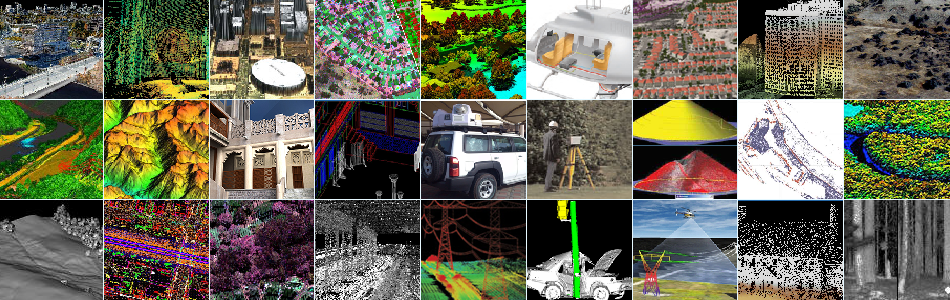
LiDAR
GST is a representative of Optech which is the world leader in the development and manufacture of advanced LiDAR and camera survey instruments for airborne, mobile and terrestrial mapping. Optech has led the advancement of the technology for 40 years, empowering surveyors, researchers and government organizations with fast, accurate and cost-effective solutions.
Airborne
Optech Airborne sensors capture wide areas of terrain such as cities, forests and farmlands, or long corridors such as power lines, railways and rivers. Airborne sensors also have the speed and flexibility to survey many square kilometers in a single flight, even over rough or inaccessible terrain.
Mobile
LYNX Mobile surveying facilitates the collection of spatially correct data on a large scale. Rather than survey individual buildings or areas, mobile mapping systems can be deployed to map entire cities or hundreds (even thousands) of kilometers of transportation corridors.
Static
ILRIS Lidar technology naturally lends itself to surveying and mapping applications such as construction verification, geological data collection, and mine planning. Optech has developed systems that perform surveys in extreme circumstances, including working at ranges up to 3 km.