Airborne Survey
The advantages of airborne surveying
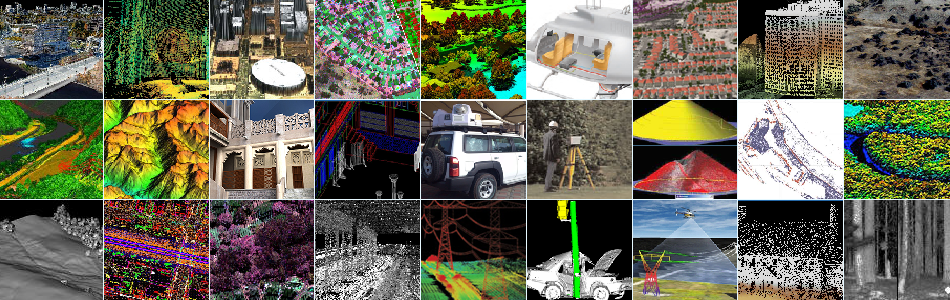
Over the last 30+ years, Optech has proven that airborne surveying offers many advantages for acquiring spatially-located data across large areas. From an aircraft’s vantage point, sensors capture wide areas of terrain such as cities, forests and farmlands, or long corridors such as power lines, railways and rivers. Airborne sensors also have the speed and flexibility to survey many square kilometers in a single flight, even over rough or inaccessible terrain.
")
One platform, many sensors
Airborne systems can consist of a customized selection of sensors to fit the surveyor’s needs. Optech’s world-famous lidar sensors excel at capturing high-accuracy, high-resolution 3D topographic maps, while our award-winning cameras collect imagery for mapping and engineering surveys. Optech also provides near-infrared and thermal camera sensors for environmental surveying, heat-loss analysis and ISR.
Installation flexibility
Sensors can be mounted in various types of aircraft, depending on the surveyor’s mission. Optech has installed systems on numerous types of aircraft. These range from airplanes (best-suited to wide-area mapping) to UAVs and helicopters (best-suited for corridor mapping). The sensors are positioned either over a downward-looking port in the aircraft cabin or in an external pod, and are supported by an inertial navigation system with a GNSS antenna for accurately georeferenced data.


")


