Geospatial Services
GST offers a range of high end Geospatial Services right from planning, designing, data sourcing, analysis, presentation, software customization, consulting, , development, implementation through to maintenance and support to help your organization to efficiently manage your Geo-information database and suit to your requirements.
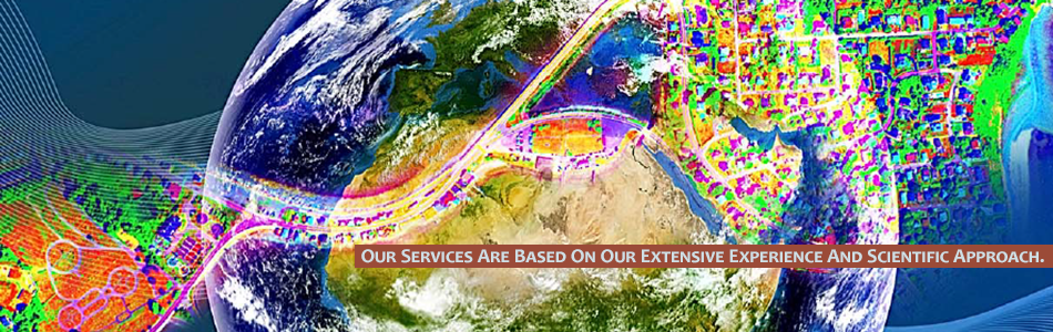
Our services are based on our extensive experience and scientific approach. We develop systems and products to support decision making in the fields of agriculture, natural resources, asset management, urban planning and development. Our skilled resource pool caters to mapping, GIS consulting, application development and Enterprise GIS.
GST is primarily involved in the following streams:
- LiDAR Surveying (Mobile, Airborne & Terrestrial)
- Natural Resources Management and Mapping (Soil, Geology, Vegetation)
- Real-Time Oil Spill Detection & Monitoring
- Natural Resource Exploration (Oil & Gas, Minerals and Water)
- Aerial Imaging (Multispectral & Hyperspectral)
- Ground Based Collection Systems
- Digital Image Processing
- Data Conversation & Preparation
- Unmanned Aerial Vehicle Services
- Topographic Mapping
- Cadastral Mapping
- Ground and Hydrographic Surveying
- Environmental Studies
- Socio Economic Analysis and Mapping
- Web Based GIS Solutions and Applications
- Interferometric Synthetic Aperture Radar Applications
- Geospatial Oil and Gas Services
- Surveillance and Intelligence:
- Enhanced Recovery Monitoring
- Oil Tracker
- Surface Movement Monitoring