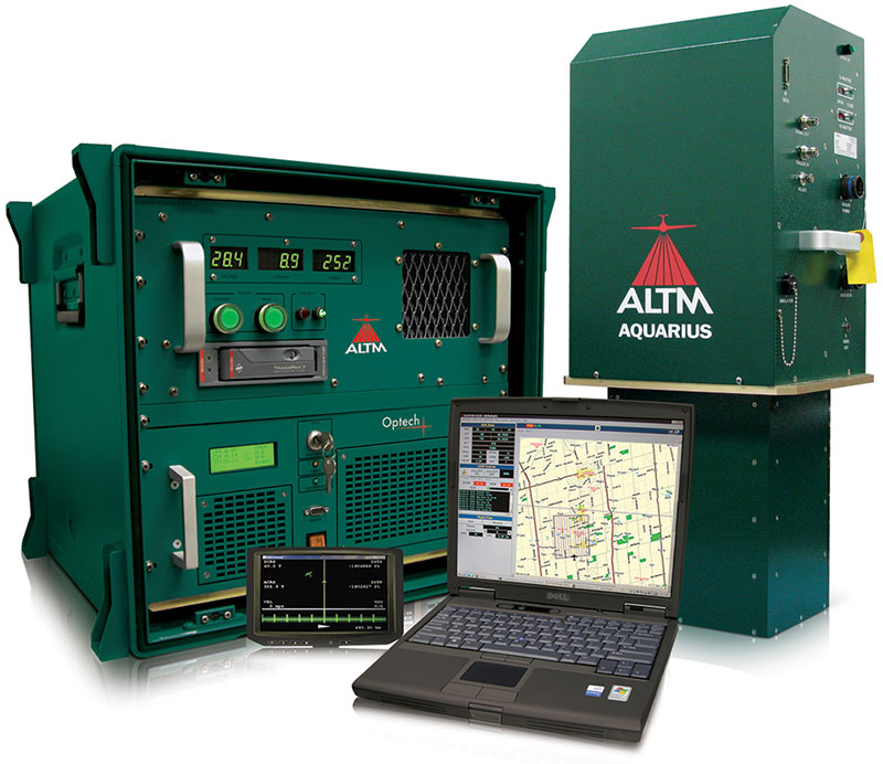
Optech Aquarius ALTM
Powerful and affordable coastal and marine mapping system
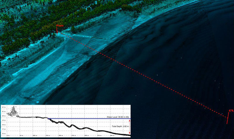
The Optech ALTM Aquarius is an innovative compact solution for mapping coastal and inland waterways. Compatible with the Gemini ALTM, Aquarius collects simultaneous land and water-depth measurements, enabling wholly complete datasets that span the land/water interface. An entry-level sensor compared to Optech’s full-featured lidar bathymetry system (CZMIL), it still outperforms other bathymetric laser systems currently in the market. Aquarius provides depth information in relatively clear and shallow water environments not previously accessible to conventional topographic mapping sensors alone.
Aquarius Advantages
- Simultaneous land/water depth measurement capability
- Available as a complete solution or as a sensor head addition to the Gemini ALTM
- “Drop-in” sensor design enables small portal installations and unrestricted use of FOV
- Discrete and/or waveform-derived elevation measurements
- Pseudo-reflectance measurement capability
- Integration with additional digital imaging sensors
- Programmable density irrespective of altitude
- Production-focused workflow
- Automated lidar rectification
- Platform design with 15 years of field-proven results
Applications:
- Coastal & Marine
- Coastal & Shoreline
- Natural Resources
- Environmental