Lidar Systems
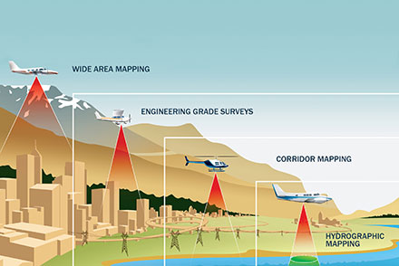
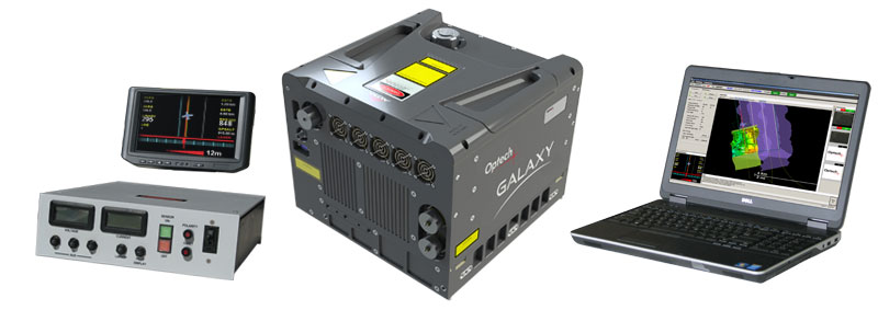
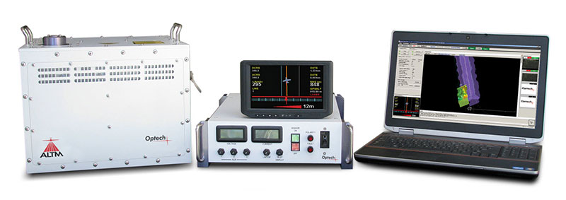
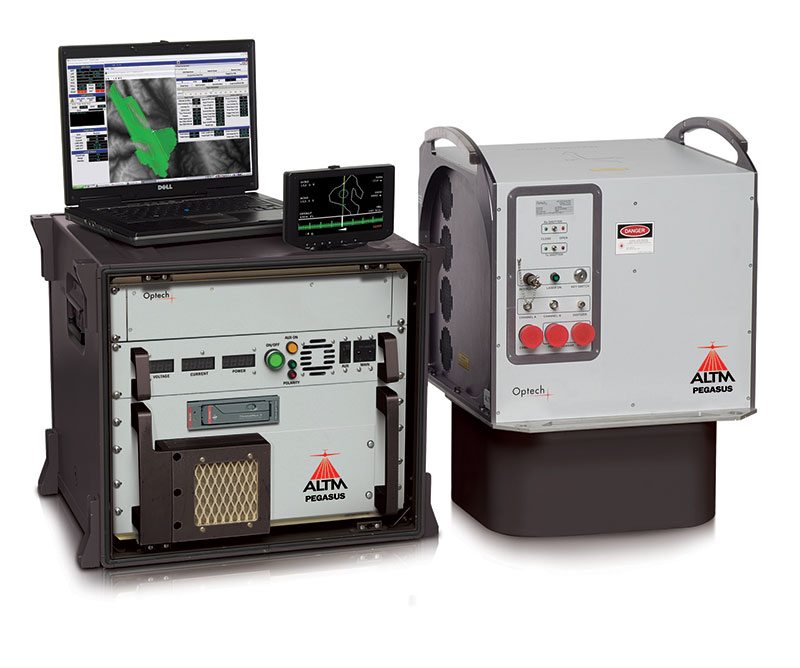
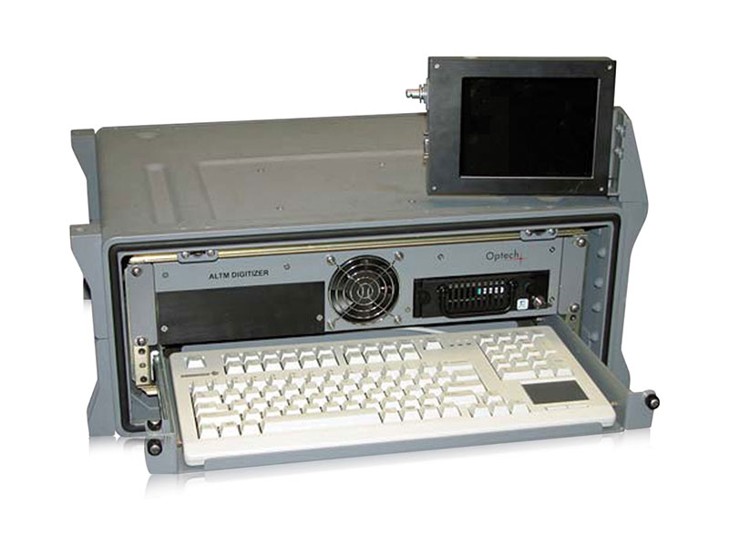
Optech’s Galaxy, Orion and Pegasus ALTM airborne laser terrain mappers excel in the efficient acquisition of high-accuracy spatial data. They deliver complete unparalleled airborne data collection solutions, from high-altitude wide-area mapping to low-altitude corridor surveys. A complete line of fully integrated aerial imaging cameras, waveform digitizers, and custom mounting with a gyro-stabilized solution is also available.
