
ASTER
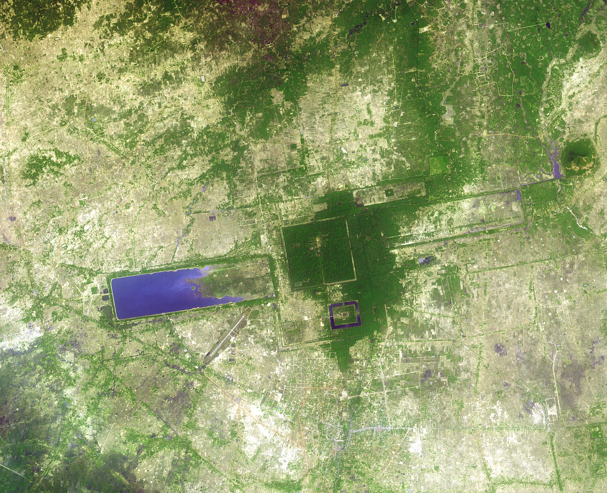
ASTER was launched in 1999 and remains fully operational. Flying at an altitude of 438 miles, ASTER has a 16-day revisit period and follows a sun-synchronous polar orbit. Each ASTER acquisition is approximately 60km by 60km . The ASTER instrument acquires information across the visible and infrared spectrums. Specifically, information is acquired by three separate instruments:VNIR (Visible and Near-Infrared Radiometer), SWIR (ShortWave Infrared Radiometer),and TWIR (Thermal Infrared Radiometer).
ASTER Specifications:
| Resolution | |
|---|---|
| SWIR 30 m | |
| TIR 90 m | |
| Nominal Swath Width | 60 km at Nadir |
| Bands | VNIR Band 1 (Green): 520-600 nm |
| VNIR Band 2 (Red): 630-690 nm | |
| VNIR Band 3 (NIR): 780-860 nm | |
| SWIR Band 4: 1.6-1.7 µm | |
| SWIR Band 5: 2.145-2.185 µm | |
| SWIR Band 6: 2.185-2.225 µm | |
| SWIR Band 7: 2.235-2.285 µm | |
| SWIR Band 8: 2.295-2.365 µm | |
| WIR Band 9: 2.36-2.43 µm | |
| (SWIR sensor is no longer working presently. All data collect post 2007 has blank SWIR bands) | |
| TIR Band 10: 8.125-8.475 µm | |
| TIR Band 11: 8.475-8.825 µm | |
| TIR Band 12: 8.925-9.275 µm | |
| TIR Band 13: 10.25-10.95 µm | |
| TIR Band 14: 10.95-11.65 µm | |
| Archive Availability | From 1999 |
| Programmability | NO |
| Minimum Area of Purchase | Full scenes only |
| Stereo Available | YES, along track stereo from Level 1A VNIR bands 3N and 3B |
| Best Scale | 1:25,000 – VNIR & SWIR |
| 1:50,000 – SWIR |