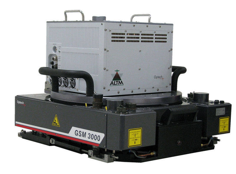
Optech ALTM Orion
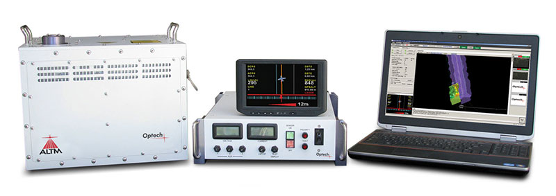
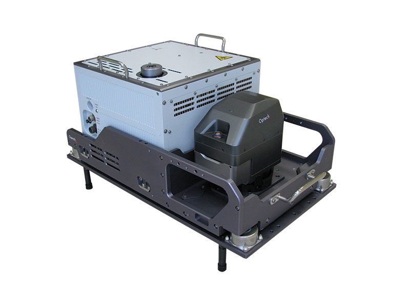
The Optech Orion ALTM Airborne Laser Terrain Mapper is an ultra-compact total mapping solution with industry-leading data precision and accuracy. Modular components, direct upgrade options and plug-and-fly passive imaging sensors deliver scalable and highly flexible configurations for maximum flexibility in all application spaces. Orion meets your application requirement with three models:
Orion C
Low-altitude system for corridor and engineering mapping applications such as power line, pipeline, and urban infrastructure surveying. With industry-leading ranging precision of <10 mm, Orion C provides engineering-grade accuracy and precision for tight-tolerance applications. Coupled with exceptional small target detection capability, Orion C provides complete collection confidence of all overflown transmission and distribution lines, irrespective of cable size and coatings.
Orion M
Low- to mid-altitude system provides a wider operational envelope enabling a wider range of applications including, urban modeling, engineering and transportation, and small topographic surveys. Ideal if you need the flexibility to perform both corridor and larger area surveys.
Orion H
A high-performance sensor that provides maximum application flexibility. Bid with confidence on low-altitude corridor projects and/or high-altitude mountain surveys. Orion H delivers with unparalleled data quality and accuracy.
Orion Advantages
- Compact form factor and low power requirements provide platform flexibility
- Industry-leading data precision delivers the highest-quality datasets possible
- Exceptional small-target detection capability captures even the smallest details
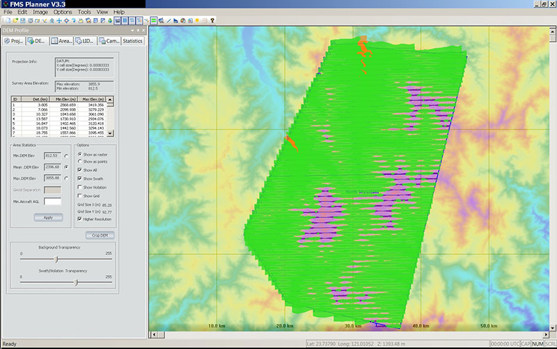
- Monitor data quality and collection confidence in real-time with in-air lidar point cloud display and coverage maps
- Output XYZI point clouds in LAS format in real-time for immediate data deliverables
- Have the flexibility that only a completely programmable scanner and FOV offer, maintaining required ground point densities when collection conditions and altitudes vary from plan
- Provide service differentiation by adding passive imaging capability with Optech’s modular line of digital cameras (RGB, NIR, thermal, and multispectral). Tightly-integrated and fully supported from one flight management system
- Flexible multi-sensor mounts for both helicopter and aircraft installations provide scalable solutions as business requirements change
- Deliver consistent data quality and accuracy with production-focused workflow software with automated calibration capabilities

Applications
- Corridor & Asset
- Defense & Security
- Natural Resources
- Surveying & Mapping
- Urban Mapping
Accessories