Mobile Survey
Mobile mapping solutions
What is mobile surveying?
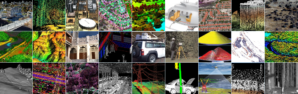
Mobile surveying, loosely defined, is the collection of spatially-located data from a moving platform. Depending on the application, mobile mapping systems can include any number of sensors. In the survey industry mobile mapping systems typically consist of cameras, GPS, inertial navigation and, most recently, high-resolution lidar.
What are the advantages of mobile surveying?
Mobile surveying facilitates the collection of spatially correct data on a large scale. Rather than survey individual buildings or areas, mobile mapping systems can be deployed to map entire cities or hundreds (even thousands) of kilometers of transportation corridors. Imagine collecting a high resolution dataset of an urban neighborhood in a few hours, or generating an engineering drawing of 60 km of highway in a single day. Mobile mapping systems make it happen.
What are the advantages of high-resolution lidar based mobile mapping?
Lidar technology is made for mobile mapping because lidar sensors can maintain high accuracy and high resolution from rapidly moving platforms. They operate at very rapid measurement rates to produce highly detailed 3-dimensional data: Fast, accurate, eye-safe lasers coupled to high-speed scanners with large fields of view, operate day or night to collect survey-grade measurements.


