Static 3D Survey
Terrestrial lidar scanning comes of age
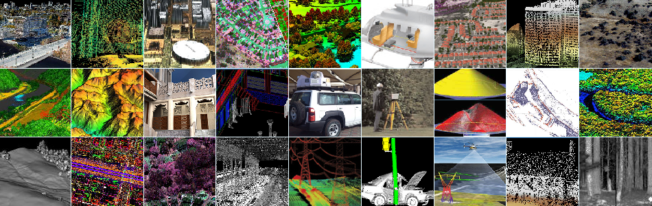
Over the past decade, Optech has helped terrestrial lidar become a mature, reliable technology. Modern systems take up less weight, power, and size while still collecting XYZ geospatial data with excellent precision, range and collection rates to produce highly accurate 3D point clouds.
The right tool for the job
Lidar technology naturally lends itself to surveying and mapping applications such as construction verification, geological data collection, and mine planning. Optech has developed systems that perform surveys in extreme circumstances, including working at ranges up to 3 km, surveying snow-covered targets, and operation at the end of a boom inserted into underground cavities.
New applications
In response to advances in lidar technology and increasingly affordable prices, industries and sectors have found yet more applications for terrestrial laser scanners, and many projects now have 3D point clouds and datasets as requirements. Whatever the application, Optech is at the forefront of helping people develop new uses for lidar, including disaster management, automated landslide monitoring and robotic integration.

")