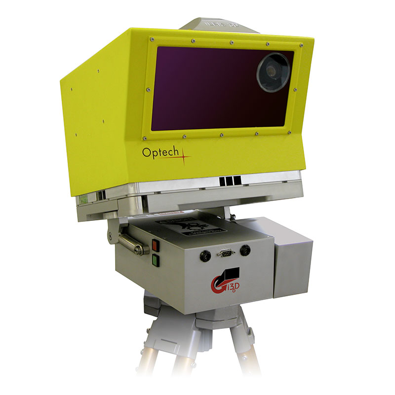
Optech ILRIS
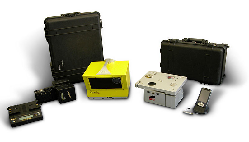
ILRIS is a fully portable, laser-based ranging and imaging system for the commercial survey, engineering, mining and industrial markets. A compact and highly integrated instrument with digital image capture and sophisticated software tools, ILRIS is an industry-leading solution that addresses the needs of commercial users. It is field-ready and requires no specialized training for deployment. ILRIS is packaged for several applications, including automated monitoring and long-range scanning.
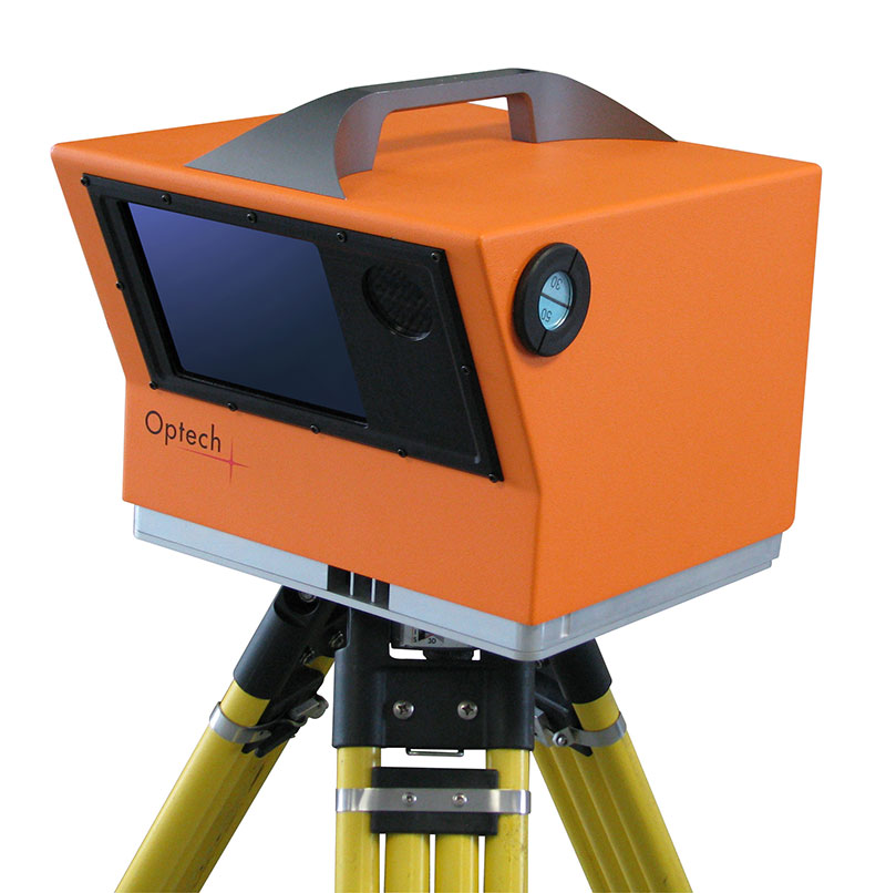
Models
- ILRIS-LR
- ILRIS-HD
- ILRIS-HD with ER
ILRIS Advantages
- Long range
- Market leader in range capability (exceeds 3000 meters)
- Permanent mounted solutions
- Out-scan and out-spec your competition
- Fewer set-ups required
- Scan from safe areas
- High angular resolution
- Market leader in resolution
- Achieve the highest possible scan density
- High accuracy and precision
- Market leader in accuracy
- Out-perform and out-spec your competition
- Measure to non-cooperative targets
- Automated monitoring solution
- Snow, ice and wet surface capability
- Unique dual-axis scan pattern
- Generate gridded data as opposed to lines of data
- Improve models
- Improve data quality
- Unique to ILRIS

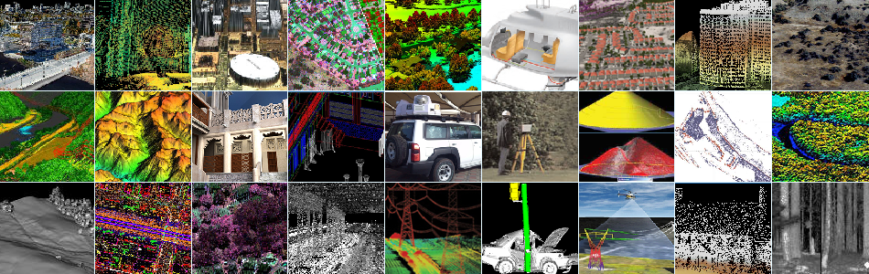
Applications:
- Engineering
- Civil Engineering
- Rail
- Natural Resources
- Forestry
- Geology, Mining & Geotechnical