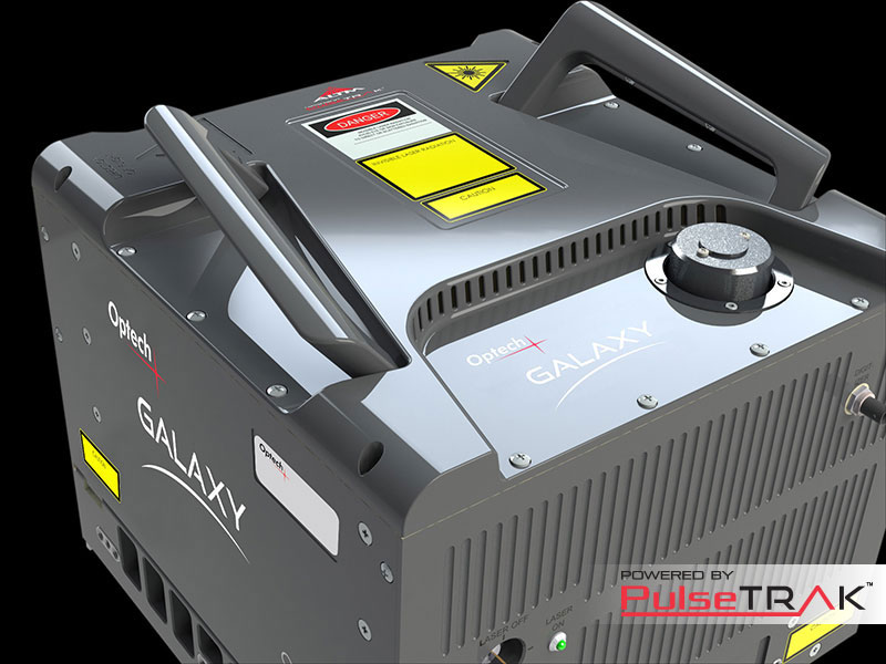
Optech ALTM Galaxy
No more Compromises!
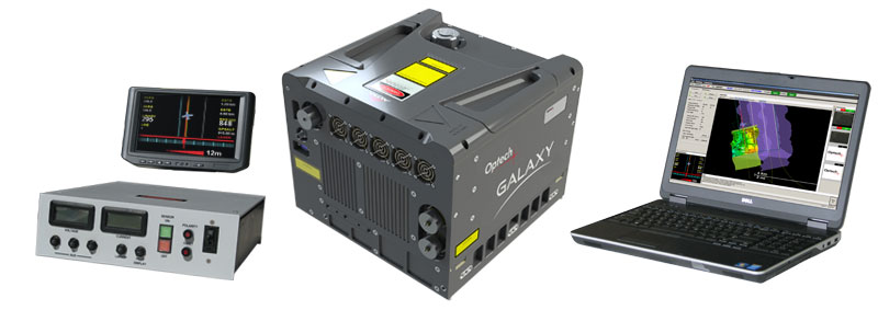
Galaxy is the next generation of airborne solutions, packing more power and accuracy into a tiny footprint than any other sensor. Designed for everything from wide-area mapping to corridor surveys, Galaxy is truly a universal sensor that rivals larger systems with its ultra-dense data and industry-leading measurement precision and accuracy.
Galaxy’s new PulseTRAK™ technology makes surveying simpler than ever before by providing unique innovative feature sets that maximize productivity, increase information content and reduce overhead costs.
Whether installed in a tactical UAV , integrated in a helicopter pod for powerline surveying, or gyro-stabilized with an orthometric camera for wide-area mapping, Galaxy’s performance and capability is out of this world.
Galaxy and PulseTRAK™ Advantages
- 550-kHz effective PRF provides on-the-ground point density and efficiency formerly reserved for dual-beam sensors
- Continuous operating envelope replaces conventional multipulse technologies for complete coverage and more consistent point densities
- Up to 8 returns per pulse provides increased vertical resolution of complex targets without the need for full waveform recording and processing (waveform recorder optionally available)
- Swath Tracking Mode with dynamic scan field of view enables constant swath widths and point distributions over variable terrain.
- High-torque, low-inductance scanner provides superior reliability and calibration stability
- Programmable scanner enables dramatic point density increases at lesser FOVs
- Innovative atmospheric point inhibitor enables cleaner raw data and significantly reduces post-processing filtering
- Industry-leading data precision and accuracy for the highest-quality datasets possible
- Wide dynamic range enables exceptional small-target detection capability and capture of even the smallest details
- In-air lidar point cloud display for maximum collection confidence.
- Real-time XYZI point clouds in LAS format enable immediate data deliverables.
- Low power requirements and compact form factor provide platform flexibility.
- Tight integration with Optech’s modular line of digital cameras (RGB, NIR, thermal, and multispectral) under a single flight management system provides excellent application flexibility and scalable data deliverables
- Production-focused workflow software with automated calibration and boresight capability of both lidar and camera within a single workflow, enabling truly coincident datasets and quantified accuracies
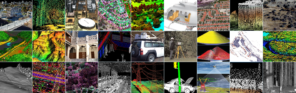
Applications
- Powerline and transportation corridor
- Wide-area mapping
- Natural Resource management
- Defense & Security
- Engineering and infrastructure modeling
- Urban Mapping
Accessories
- Integrated multi-camera systems
- Full waveform recorder
- Multi-sensor fixed mounts
- Gyro-stabilized survey kits
- Helipods