Coastal & Marine Systems
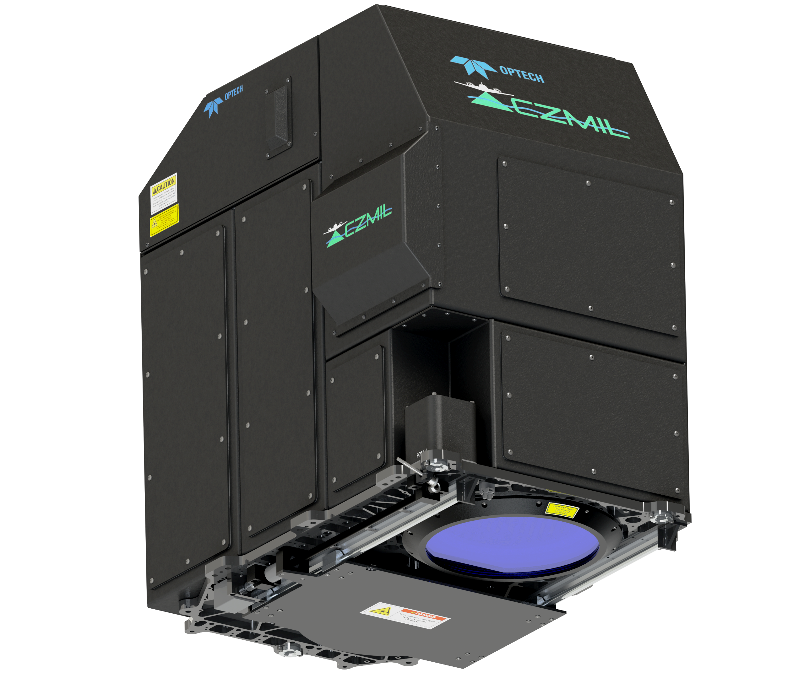
Optech CZMIL is the most advanced and innovative airborne coastal zone mapping system available today, outperforming all other sensors of its type on the market It produces simultaneous high-resolution 3D data and imagery of coastal topography, bathymetry up to 50 meters depth, benthic classification, submerged object detection and water column characterization.
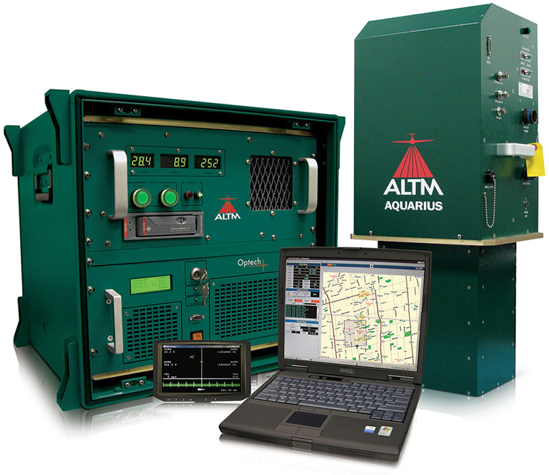
The more compact ALTM Aquarius is designed for applications only needing results from shallow, clear water. It provides simultaneous terrestrial and water depth measurement, enabling the collection of data sets that span the entire land-water interface to depths in excess of 10 meters.


