
Remote Operation Capability
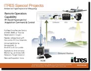
RF Based Hyperspectral Acquisition Command and Control
Flexible, UAV-Compatible Hyperspectral Imaging
With the introduction of remote radio frequency (RF) down-link capability, ITRES again pushes the operational capabilities of commercial airborne hyperspectral mapping to a new frontier. Real-time ground-based control and monitoring of hyperspectral IR mapping imagery acquired using an Unmanned Airborne Vehicle (UAV) or small personal aircraft is available, without the need for an on-board operator.
Remote Operation Explained
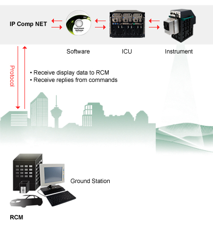
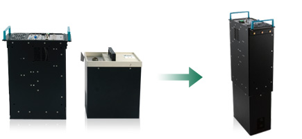
A new miniaturized Instrument Control Unit, custom readout system, and down-link hardware/software system utilizing TCP/IP-based protocols makes this possible. The system is flexible, in that it can be used with any existing TCP-compatible RF downlink system.
RF Control Modes:
- Full remote control plus full data download and archiving
- Full remote control plus real-time visual download (1-3 bands)
- Blind remote control