
TerraSAR-X
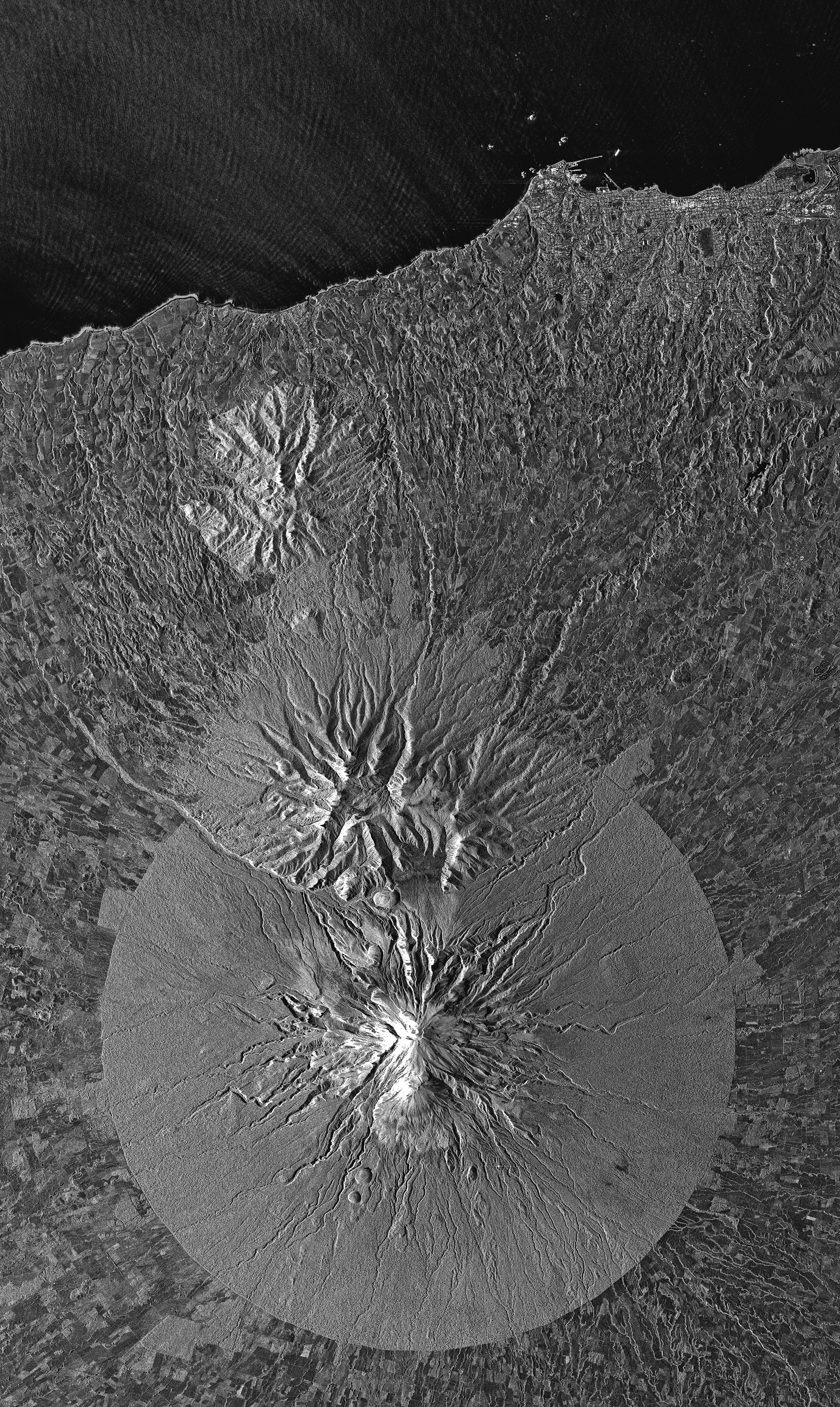
TerraSAR-X is an active matrix, X-band Synthetic Aperture Radar (SAR), capable of acquiring data with a resolution of 1 metre, and in all weather conditions, both during the daytime and at night. TerraSAR-X has a repeat period of 11 days. However, it can observe on both sides of its trajectory, which means it can acquire any point on Earth every 4.5 days; furthermore 90% of these points are covered every 2 days. The Synthetic Aperture Radar (SAR) operates in three modes: spotlight mode, strip-map mode and scan SAR mode.
TerraSAR-X Specifications:
| Resolution | |
|---|---|
| SpotLight: 2m | |
| StripMap: 3m | |
| ScanSAR: 18m | |
| Nominal Swath Width | HS Spotlight: 5 to 10 km x 5 km (width x length) |
| SpotLight: 10 km x 10 km | |
| StripMap: 30 km x 50 km | |
| ScanSAR: 100 km x 150 km | |
| Bands | Active X- band Microwave |
| Archive Availability | From 2007 |
| Gap Filling Option | Using Pre-2003 SLC-on Gap Free imagery |
| Programmability | YES |
| Minimum Area of Purchase | One scene |
| 100 sqkms for New Collect imagery | |
| Stereo Available | YES, Interferometric and Radargrammetric |
| Best Scale | Upto 1:3000 |
TerraSAR-X Key Features
- Flexible spatial resolution (1m / 3m / 18.5m) and footprint: very high resolution for specific small areas, medium resolution for large areas.
- Geometric accuracy unparalleled by any other commercial spaceborne sensor today.
- Excellent radiometric fidelity.
- Weather-independent acqusition time of 2.5 days max. (2 days at 95% probability) to any point on Earth
- Unique agility (Quick switching between imaging modes and various polarisation modes)
TerraSAR-X was launched on June 15, 2007 and has been in operation since January 2008. Following the launch its twin satellite, TanDEM-X in early 2010, the two satellites act as pair acquiring large volumes of Radargrammetric and Interferometric data. The TerraSAR-X orbit has been selected such that the satellite flies in a sun-synchronous dusk-dawn orbit, which means that it moves along the day-night boundary of the Earth and always presents the same face to the sun, ensuring an optimum energy supply via its solar cells. TerraSAR-X is designed to carry out its task for five years, independent of prevailing weather conditions and illumination, and reliably provides radar images with a resolution of up to 1m.
Products:
TerraSAR-X basic product range is defined by following variants:
- Single Look Slant Range Complex (SSC)
- Multi Look Ground Range Detected (MGD)
- Geocoded Ellipsoid Corrected (GEC)
- Enhanced Ellipsoid Corrected (EEC)
Advantages of radar technology:
- Active Illumination
- SAR being an active system illuminates the Earth surface and measures the reflected waves, generating microwave images of the earth surface. Therefore images can be acquired irrespective of time of day or night.
- Weather independence
- The microwaves signals emitted and received by the Terra-SAR sensor are at a much longer wavelength (3.1 cm) than the ones used by optical sensors. Such small wavelength waves can easily penetrate clouds and acquire the imagery of the terrain.
- Unique Information
- Data provided by optical sensors contains information about the reflective properties of the imaged objects (i.e. colour), while microwave images provide information about the geometric and dielectric properties of the surface (i.e. roughness) or volume (i.e. chemical composition, moisture) studied, allowing unique properties of the target to be revealed.
- SAR-optical complementary nature
- The combined analysis of optical and SAR data can provide information not visible in the separate images.
- Stereo viewing
- Data acquired from slightly different orbits can be combined to produce stereo images. SAR stereo-pairs can be used to view an area in 3D using Stereo capable display systems. The technique of generating Elevation information using SAR stereo pairs is known as Radargrammetry. The Elevation10 products by Astrium are based on StripMap stereo pairs acquired by the high-resolution radar satellite TerraSAR-X and processed applying Radargrammetry techniques.
- SAR interferometry
- Another exciting technique has emerged in recent years to utilise SAR data: Interferometric SAR, or InSAR. Using TerraSAR-X interferometric pairs, under suitable conditions, it is possible to generate three-dimensional relief maps of the Earth’s surface. In addition, an extension of this technique allows the detection of very small (order of centimetres) movement of land surface features, such as Landslides and Earthquakes. This has also been succefully applied to detect urban land subsidence due to underground metro projects.