
ALOS
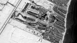
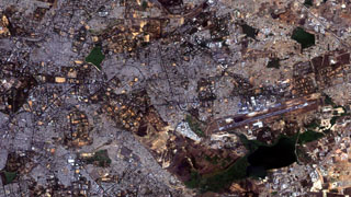
Advanced Land Observing Satellite, ALOS is a Japanese Earth-Observation satellite, developed by JAXA. The objective of the mission is to provide the user community with data of sufficient resolution to be able to generate 1:25,000 scale maps. It is one of the largest Earth observing satellites ever developed. ALOS has a GPS receiver and a laser reflector as tools for orbit determination. ALOS is continuously operating more than 4 years and it works very well. ALOS has three mission instruments i.e. an L-band Synthetic Aperture Radar called PALSAR, and two optical sensors called PRISM and AVNIR-2.
ALOS Specifications:
| Resolution | PRISM (at nadir) 2.5 m |
|---|---|
| AVNIR-2 (at nadir) 10 m | |
| Nominal Swath Width | PRISM(at nadir) 35 km x 35 km (can be up to 70 km) |
| AVNIR-2 (at nadir) 70 km x 70 km | |
| Bands | PRISM: 480 – 710 nm |
| AVNIR-2 Blue: 420 – 500 nm | |
| AVNIR-2 Green: 520- 600 nm | |
| AVNIR-2 Red: 610- 690 nm | |
| Near Infrared: 760- 890 nm | |
| Archive Availability | From 2006 |
| Programmability | NO |
| Minimum Area of Purchase | Full scenes only |
| Stereo Available | YES, PRISM only |
| Best Scale | 1:15,000 – (PRISM) |
| 1:15,000 – (PRISM pan-sharpened AVNIR-2) | |
| 1:40,000 – (AVNIR-2) |