
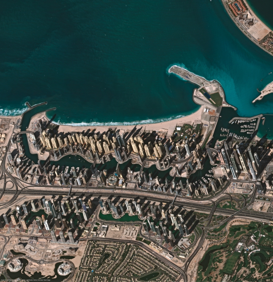
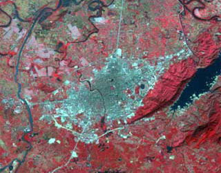
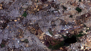
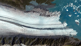
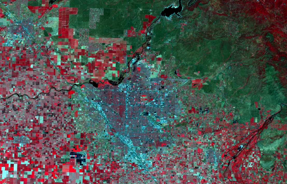
Satellite Imagery
GST provides a complete range of Satellite Imagery products that spans from High Resolution Imagery to Medium Resolution and all types of data including SAR, Optical and Thermal with cost effective value added services.
Satellites
WorldView-1
WorldView-1 provides earth imagery at 50cm spatial resolution. Being a panchromatic(Black & White) sensor, WorldView-1 can acquire very large areas in short period of time. This sensor was launched by DigitalGlobe on September 18, 2007. With an average revisit time of 1.7 days, WorldView-1 is capable of collecting up to 750,000 square kilometers (290,000 sq mi) per day of half-meter imagery.
Learn more
WorldView-2
WorldView-2 satellite sensor from DigitalGlobe provides 8-band multispectral imagery. It was launched on October 8, 2009 from Vandenberg Air Force Base on a Delta II rocket to become DigitalGlobe’s third satellite in orbit, joining WorldView-1 which was launched in 2007 and QuickBird which was launched in 2001.
Learn more
WorldView-3
WorldView-3 is the latest satellite sensor from DigitalGlobe. With the addition of this sensor to its satellite constellation (in addition to QuickBird, WorldView-1, GeoEye-1, Ikonos and WorldView-2), DigitalGlobe will be capable of collecting ~1 billion km2 of Earth imagery per year. DigitalGlobe has added a SWIR (Shortwave Infrared) sensing 8-band instrument to WorldView-3 satellite that will open up a host of new civil and military applications.
Learn more
Pléiades 1A
The Pleiades-1A constellation provides very-high-resolution optical products in record time, offering daily revisits to any point on the globe and acquisition capabilities tailored to meet the full spectrum of civil and military requirements.
Learn more
Pléiades 1B
Pléiades 1B is second in the series of 2 satellites to be launched by France as part of the Orfeo programme. The Orfeo programme is a project of the European Space Agency scheduled for completion in 2017. It’s composed of 6 next-generation, high-resolution satellites. Pleiades 1A and Pleiades 1B being the french part of the programme and 4 Cosmo-Skymed X-band satellites being the Italian part.
Learn more
SPOT
SPOT-5 is the fifth satellite in the SPOT series of CNES (Space Agency of France), placed into orbit by an Ariane launcher. Since the first SPOT satellite was launched in 1986, the SPOT system has sought to provide continuity of service and constantly improved the quality of its products for the global user community.
Learn more
SPOTMaps
SPOTMaps are 2.5m resolution, natural color, ortho-image mosaics created from SPOT 5 multispectral and panchromatic imagery. SPOTMaps is an off-the-shelf, map-accurate, image mosaic derived from the global archive of SPOT 5 imagery.
Learn more
SPOT 6-7

With SPOT 6 and SPOT 7 Astrium Geo is introducing a complete new design for the product line of the SPOT series. Thanks to many improvements in both space and ground segments, a special efforts have been made to make this new product line much easier to handle, moving forward the standard of satellite imagery to a new era.
Learn more
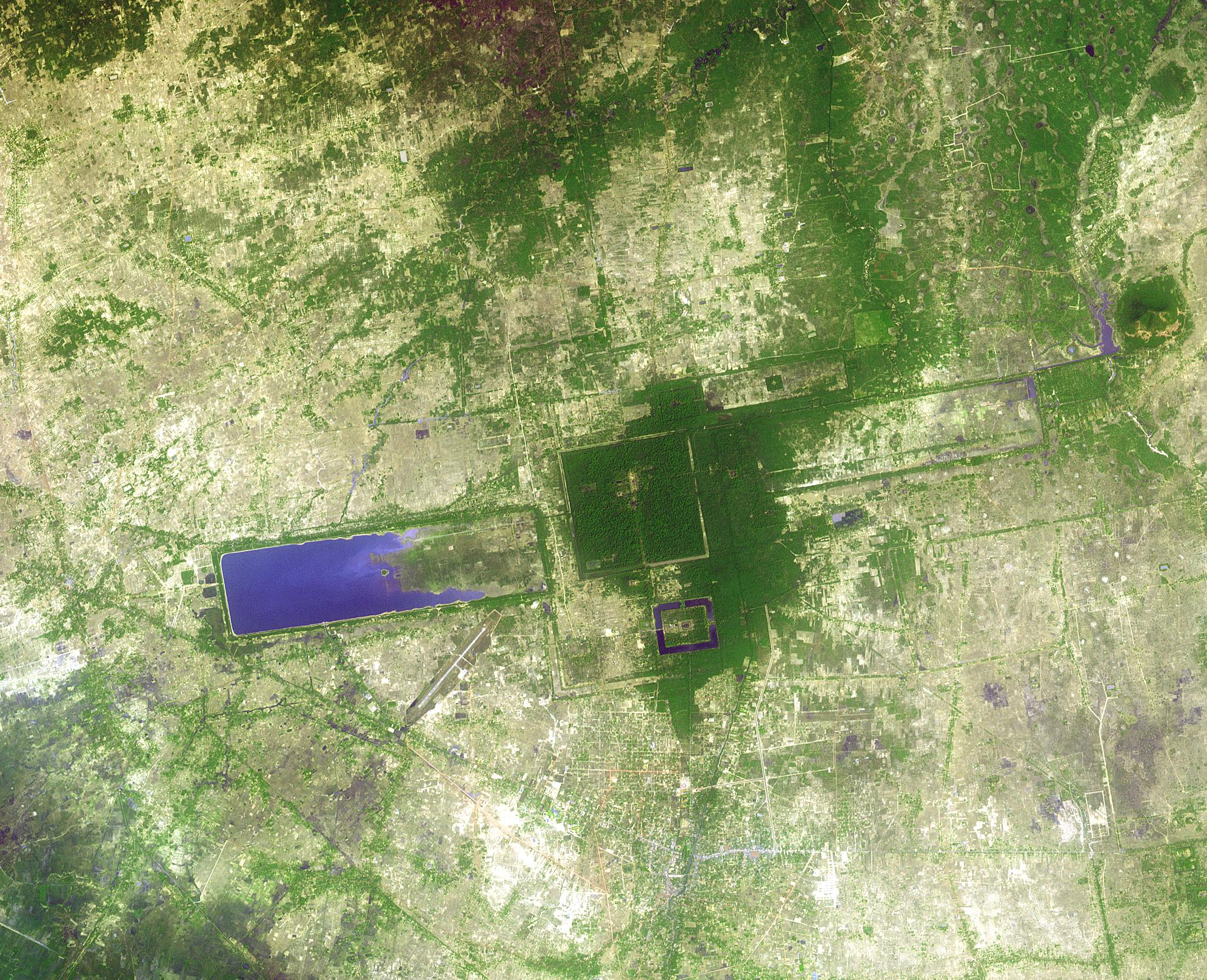
LandScan
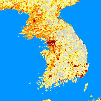
LandScan is global population distribution data having finest resolution available, it represents an ambient population (averaged over 24 hours). Landscan uses spatial data and imagery analysis and a multi-variable dasymetric modeling approach to dis-aggregate census counts within an administrative boundary.
Learn more
Landsat
Some of the most popular and valued remote sensing images of the earth are obtained from the Landsat satellites which have been orbiting the earth for over thirty years. Prior to the launch of Landsat 7, two Landsats were in operation – Landsat 4 (operating from 1982 to decommission in June 2001)
Learn more
TerraSAR-X
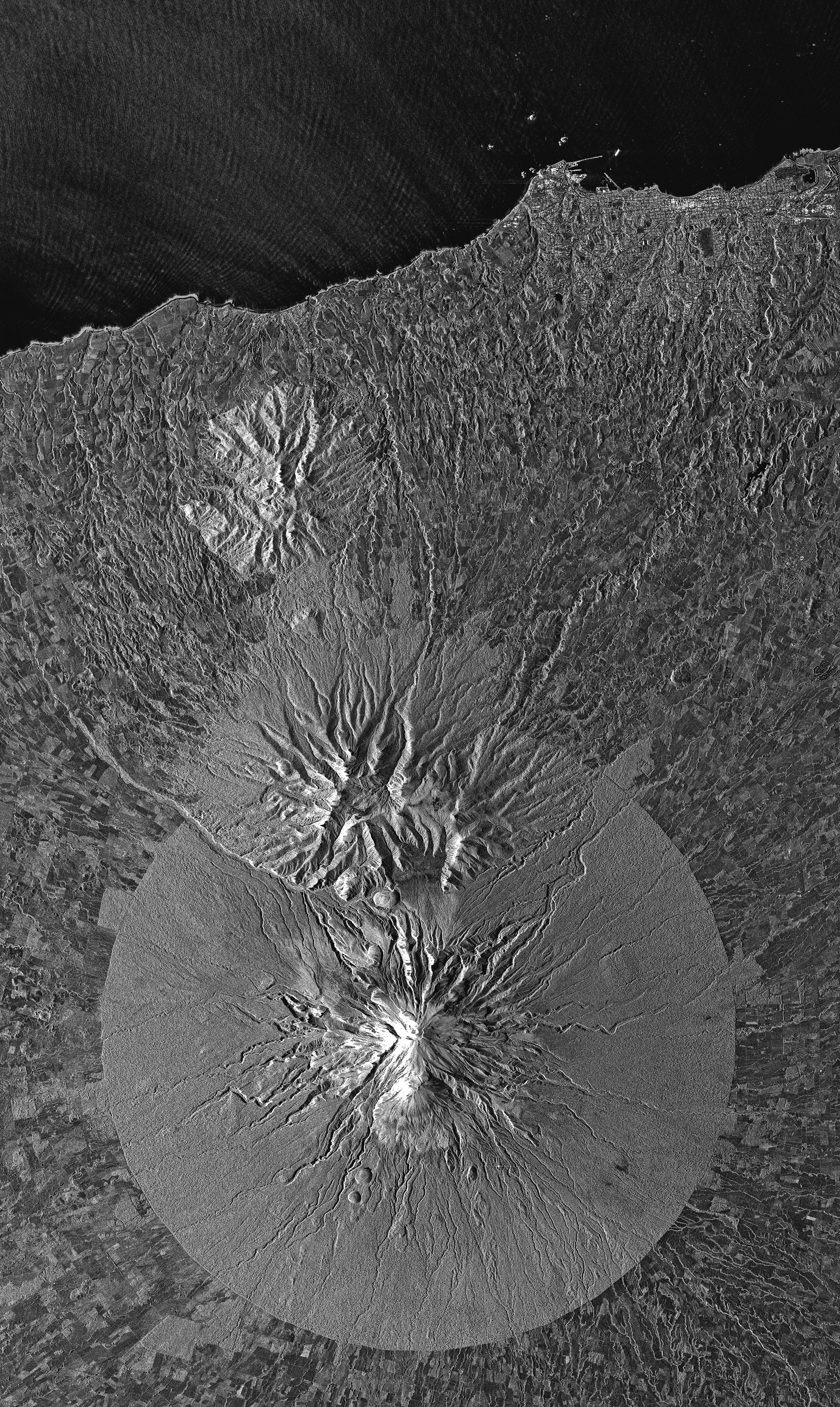
TerraSAR-X is an active matrix, X-band Synthetic Aperture Radar (SAR), capable of acquiring data with a resolution of 1 metre, and in all weather conditions, both during the daytime and at night. TerraSAR-X has a repeat period of 11 days. However,
Learn more
ASTER
ASTER was launched in 1999 and remains fully operational. Flying at an altitude of 438 miles, ASTER has a 16-day revisit period and follows a sun-synchronous polar orbit. Each ASTER acquisition is approximately 60km by 60km .
Learn more
ALOS
Advanced Land Observing Satellite, ALOS is a Japanese Earth-Observation satellite, developed by JAXA. The objective of the mission is to provide the user community with data of sufficient resolution to be able to generate 1:25,000 scale maps.
Learn more
Ikonos
When GeoEye successfully launched the IKONOS satellite in 1999, it made history with the world’s first one-meter commercial remote sensing satellite. Moving over the ground at approximately seven kilometers per second,
Learn more
GeoEye-1

The GeoEye-1 satellite, launched on September 6, 2008, collects images at nadir with 0.41-meter panchromatic and 1.65-meter multispectral resolution. (Imagery sold to commercial customers is resampled to 0.5-meter resolution.) Just as important, 3 meters of inherent geolocation accuracy has never before been achieved in any commercial imaging system.
Learn more
DMC
The Disaster Monitoring Constellation (DMC) consists of Algerian, Nigerian, Turkish, British and Chinese remote sensing satellites constructed by Surrey Satellite Technology Ltd (SSTL) and operated by
Learn more
QuickBird

DigitalGlobe’s QuickBird satellite offers sub-meter resolution imagery. Previously at an operational altitude of 482 km, QuickBird is currently operating at an altitude of 450 km and will continue in an gradual descent until its end of mission life at an altitude of 300 km.
Learn more